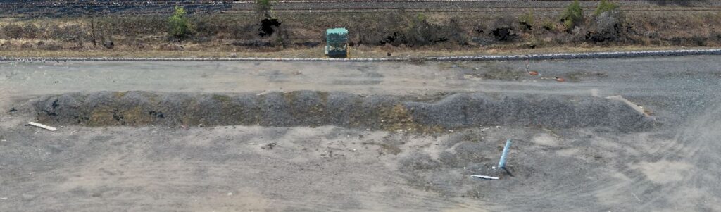
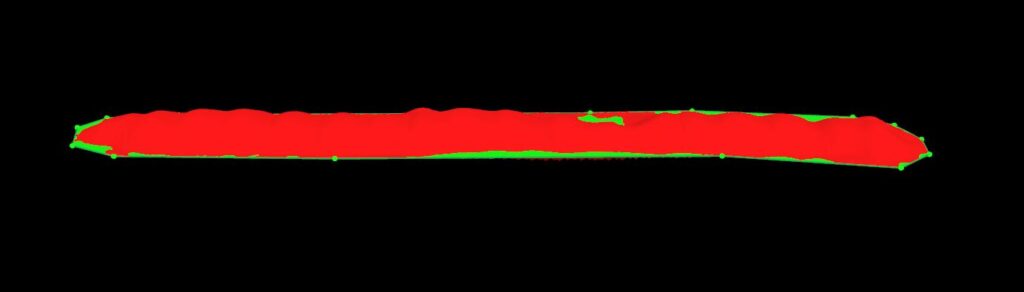
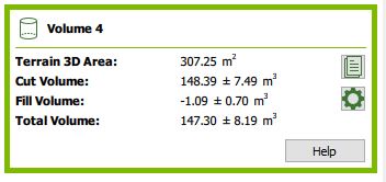
This is a cost effective method of capturing project data for small to medium sized areas provides excellent results and accuracy. Our Drone crew attended this site for approximately two hours, capturing the imagery, and the necessary GNSS measurements for proper geo-referencing of the final data. Contours at 0.25m intervals were created and delivered to the client the next day. Subsequently, volume calculations were completed on the piles of aggregate on the site.
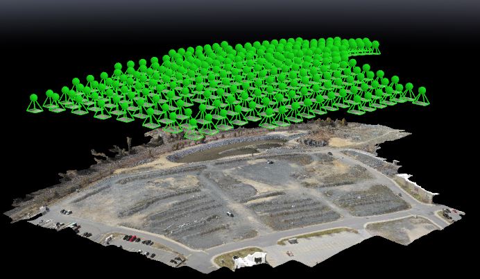
Our Drone operators are fully certified by Transport Canada, and abide by all operating protocols. Depending on where your project is located, a 7 day application period may occur while we obtain Transport Canada Approval.
Using aerial photography, we can also quickly compute the volume of stockpiles, being woodchips, aggregates, or whatever you have. The photography allows us to outline the pile and the software does the rest. As Ontario Land Surveyors, we can verify the outcome of the software using manual methods to ensure that the resulting values are valid.
The Volume Experience using Aerial Imagery.